
Topographical Survey
- Home
- Topographical Survey
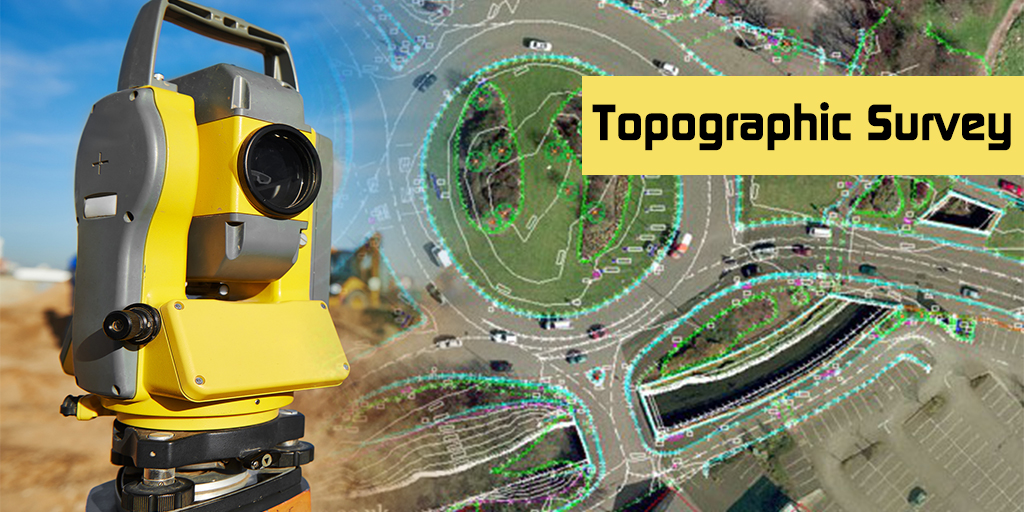
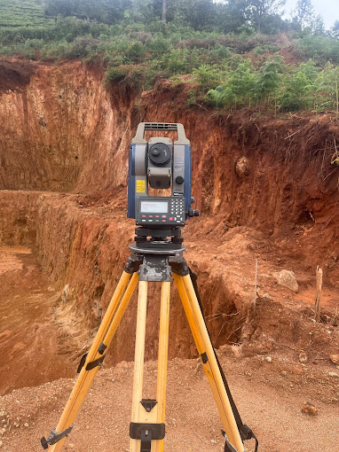
A topographical survey (aka topo survey) is an accurate depiction of a site (property, area of land, defined boundary) which is scaled and detailed to show all the natural and manmade features and their levels. A topographical survey is highly detailed and requires the involvement of topographic survey professionals to ensure the accuracy and level of detail of the reports provided.
What is a Topographical Land Survey for?
The purpose of a topographic survey is to gather spatial information relating to the site and its natural and man-made land features. This can often be related to the national Ordnance Survey grid and datum information (often using GPS) and is surveyed by point. It is typically accepted that points are positioned in three dimensions which facilitates ground modelling and visualisations from the topographical survey.
What is likely to be surveyed in a topographical survey?
The different elements included in a survey will depend on the requirements of the client. Typical elements that may be part of a topographic survey include the following:
- Area boundary lines
- Buildings and structures
- Street furniture (such as benches, bollards, post boxes, phone boxes, street lamps, traffic lights and signs, public transport stops, public lavatories, memorials, public sculptures, and waste bins).
- Trees, bushes and vegetation positions
- Water channels (such as brooks, streams, ponds and lakes)
- Ground heights, contours and surfaces
- Drainage features
- Water levels
- Features adjacent to the site
Mithra Surveyors and Construction