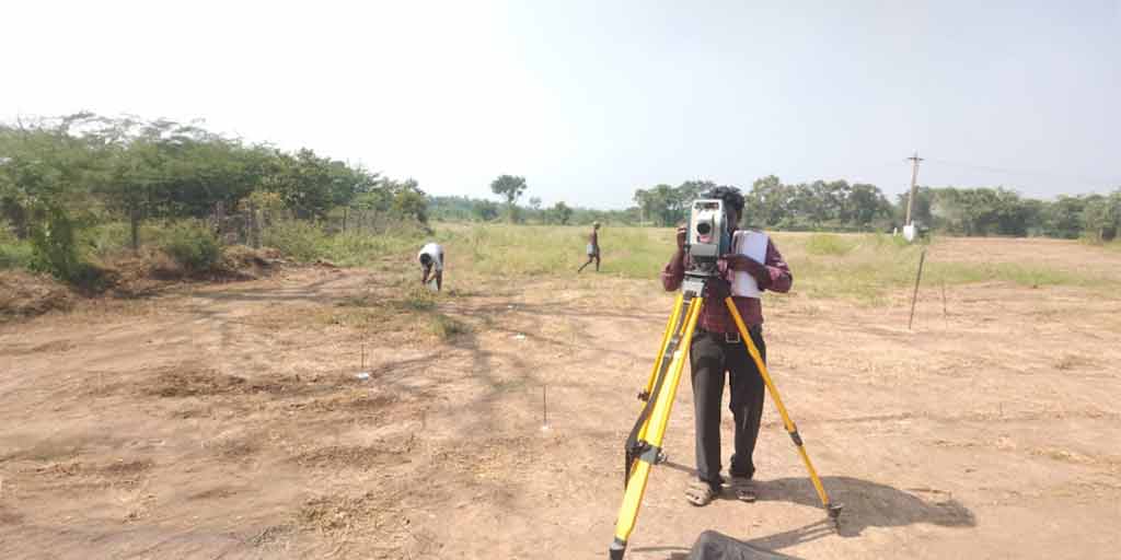
Surveying or land surveying is the technique, profession, and science of determining the terrestrial two dimensional or three – dimensional positions of points and the distances and angles between them. These points are usually on the surface of the Earth, and they are often used to establish maps and boundaries for ownership, locations, such as the designated positions of structural components for construction or the surface location of subsurface features, or other purposes required by government or civil law, such as property sales. Surveying has been an element in the development of the human environment since the beginning of recorded history. It is used in the planning and execution of most forms of construction.
Accurate Property Boundaries: Ensure precise and legal property boundaries, preventing disputes and ensuring smooth project progression.
Regulatory Compliance: Our surveys meet all regulatory requirements, ensuring your project adheres to local, state, and federal guidelines.
Enhanced Project Planning: With detailed mapping and topographical data, we provide the essential information needed for effective and efficient project planning.
Risk Mitigation: Identify potential site issues early, reducing risks and unexpected costs during the construction phase.