Office Address
Ramanathapuram, Coimbatore-45.
Phone Number
91-9489626933
Ramanathapuram, Coimbatore-45.
91-9489626933
There are many different types of surveys covering a range of different needs. Most surveys are the basis for measuring the natural and build environment, then mapping and modelling individual data points to create a bigger picture. Surveys provide crucial information to architects and engineers so they can take the best course of action when undertaking construction projects. Land surveys are essential because they can help to identify issues at a much earlier stage in a project. When issues are discovered midway through a development project, they can cause major delays and increased costs. Another important step to prevent issues with a project is by setting out the data collected during a land survey.
Accurate land surveys for precise measurements, effective planning, and regulatory compliance.
Accurate topographical surveys providing detailed land contours and features for informed planning and development.
Get precise contour surveys for accurate land analysis and effective project planning.
Expertly setting out buildings with precision for accurate construction and layout.
As-built surveys document construction changes, ensuring the final structure matches the actual build.
Get precise and professional layout preparation for your land surveying and construction needs.
Get precise and reliable sub-division surveys to ensure accurate property boundaries and optimal land use.
Expert FMB joining work for precise and reliable structural connections. Contact us for quality solutions.
Get precise road surveys for accurate planning and efficient construction with our expert team.
Bed Bolt Fixing securely fastens bed frame parts, ensuring stability and long-lasting durability.
We are professional land surveyors you can trust for accurate and reliable services.
Follow our simple four-step process to receive expert land surveying, digital mapping, and construction services.
These questions often seek to clarify the purpose, process, and benefits of land surveys, helping individuals or organizations make informed decisions.
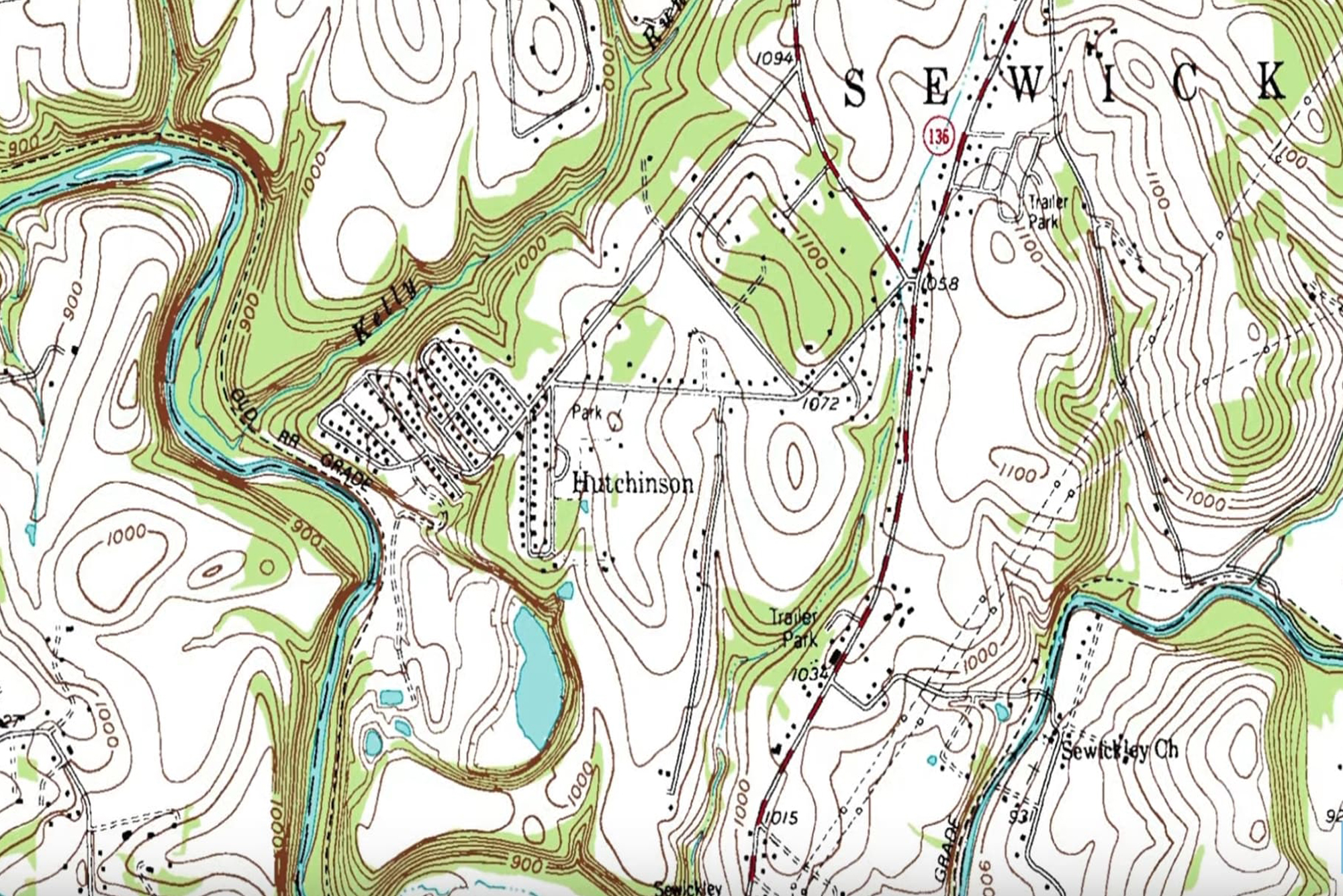
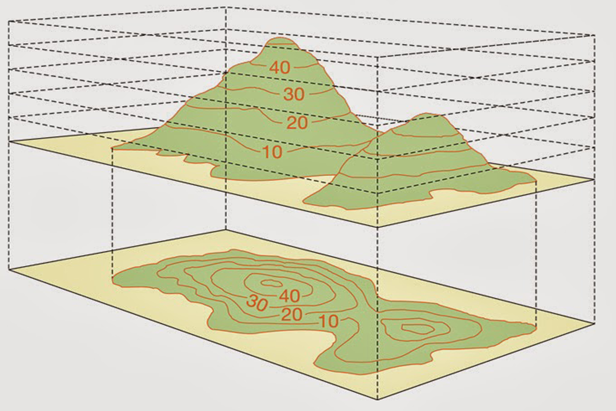
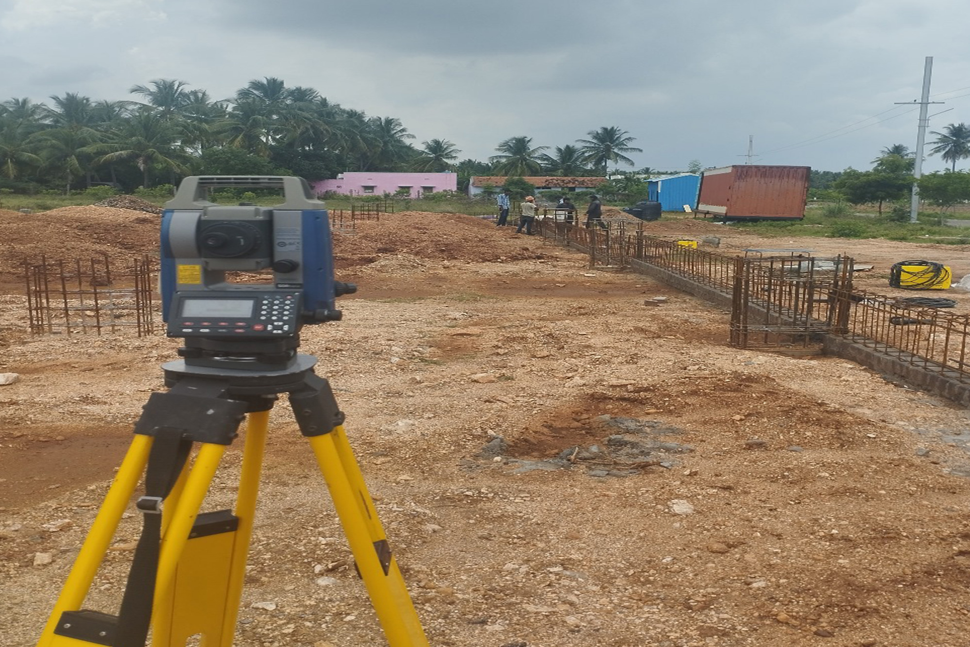
A land survey, or simply survey, is the scientific process of measuring the dimensions of a particular area of the earth's surface, including its horizontal distances, directions, angles, and elevations. Artificial structures, such as a road or building, may also be noted on a survey.
Take survey map and measure the length and breadth and then Multiply the length and width measurements to calculate the land area in square feet. As an example, if your land measured 1,000 feet by 1,500 feet, the land area would be 1,500,000 square feet. Divide the square footage by 43,560 to convert in into acres.
A land survey can determine several attributes of your property that are of use. First, it allows you to determine the precise boundaries of your property. This information can allow you to identify the locations of structures, additions, and improvements of your property.